


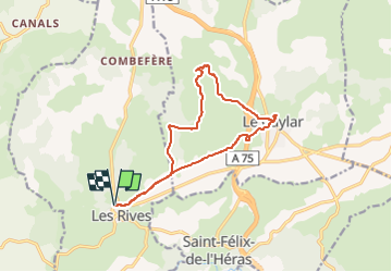


10,2 km | 14 km-effort

Gebruiker


Gratisgps-wandelapplicatie
 SityTrail
IGN / Geografische instituten
SityTrail World
De wereld gaat voor u open
Tocht Te voet van 14,3 km beschikbaar op Occitanië, Hérault, Les Rives. Deze tocht wordt voorgesteld door canardDenis.
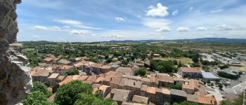
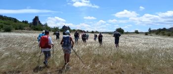
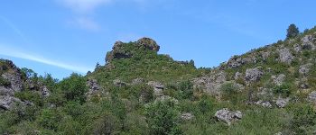
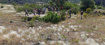
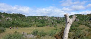
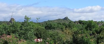
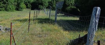
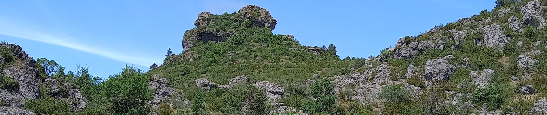
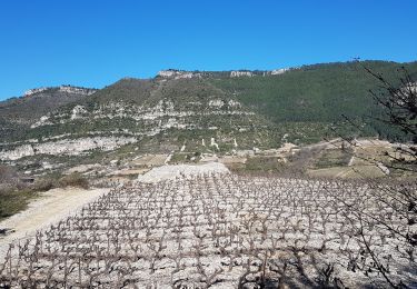
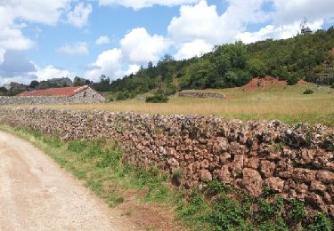
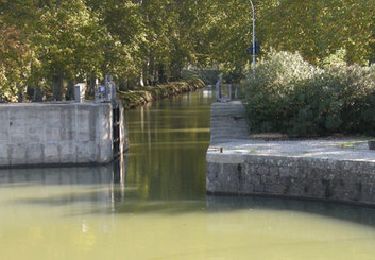
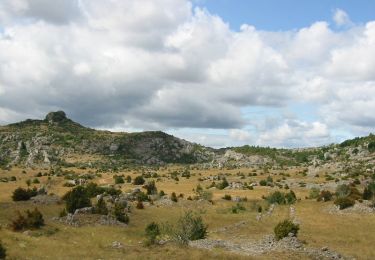
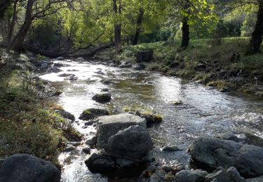
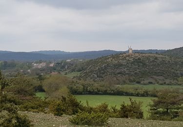
Au départ du village des Rives, boucle dans le Larzac vers le rocher du Lion (roc de Servières) puis à la découverte du village du Caylar et retour. Le larzac en ce début Juin est tout en fleurs et en herbe


Stappen
Stappen

Stappen
Mountainbike
Fiets
Stappen

Stappen
Stappen